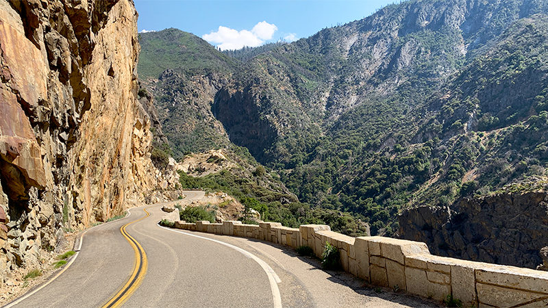
Beginning in the Sierra Nevada foothills near Dunlap, the Kings Canyon Scenic Byway traverses 50 incredible miles of Highway 180 on its way to Roads End.
The byway is the only vehicle route into Kings Canyon, the deepest canyon in North America, surpassing even the Grand Canyon. It begins in the Sierra foothills outside Fresno, passes through the Grant Grove area of Kings Canyon National Park, descends through Sequoia National Forest and Giant Sequoia National Monument, and ends at the Cedar Grove area of Kings Canyon National Park.
The most famous and visually dramatic part of the Kings Canyon Scenic Byway is the 30 mile zigzagging stretch that connects Grant Grove and Cedar Grove/Roads End. On the drive, you’ll experience majestic giant sequoia groves, steep rock cliffs, rugged mountains, thundering waterfalls, a marble cavern, the tumultuous Kings River, spectacular scenic viewpoints, quiet picturesque meadows.
The Kings Canyon Scenic Byway is closed in the winter, so be sure to visit when the road is open, which is usually from late April through mid-November.


Things To Do Along The Kings Canyon Scenic Byway
From shady picnic spots and short easy hikes to magnificent waterfalls to underground adventures and stunning views, there is a plethora of things to do for families along the Kings Canyon Scenic Byway. Here are the highlights of the drive — starting once you leave the Grant Grove area of Kings Canyon National Park and end at Roads End.
01. Kings Canyon Overlook
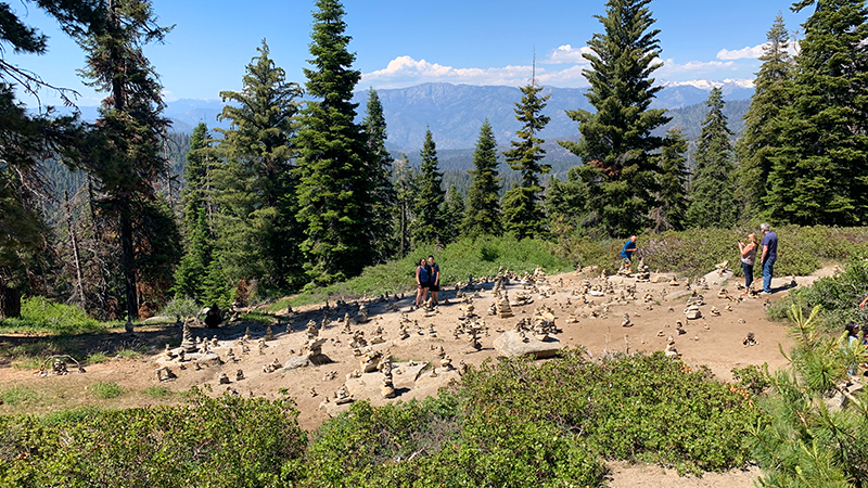
The Kings Canyon Overlook in Kings Canyon National Park offers views of Sequoia National Forest. The actual overlook isn’t very good because the view is obstructed by trees but don’t worry… the view isn’t why you want to stop here. Just beyond the parking area is a wide open rock slope covered in stacked rock sculptures called cairns. It’s sort of an amazing sight and we couldn’t resist getting out of the car to check out the cairns up close!
02. Converse Basin Grove
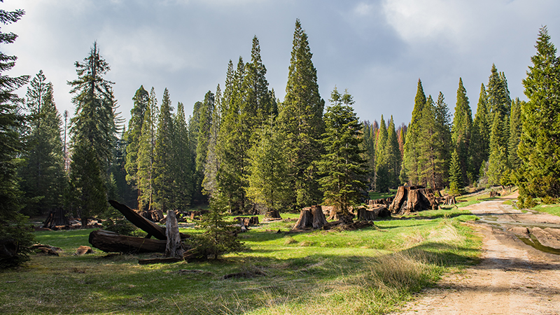
Converse Basin Grove is the largest contiguous sequoia grove in the world. It includes Stump Meadow and Chicago Stump, as well as the Boole Tree, one of the largest living giant sequoia trees. More than 8,000 sequoias were logged in Converse Basin Grove during the 1800s when the grove was privately owned. Many enormous stumps remain and are now mixed with younger new sequoia trees. The dirt Forest Roads 13S55 and 13S03 provide access to Converse Basin in the summer. The roads are closed in the winter and access then is only by cross-country skis or snowshoes. We did this drive over Fourth Of July weekend and all roads into Converse Basin were still closed due to storm damage.
03. The Boole Tree
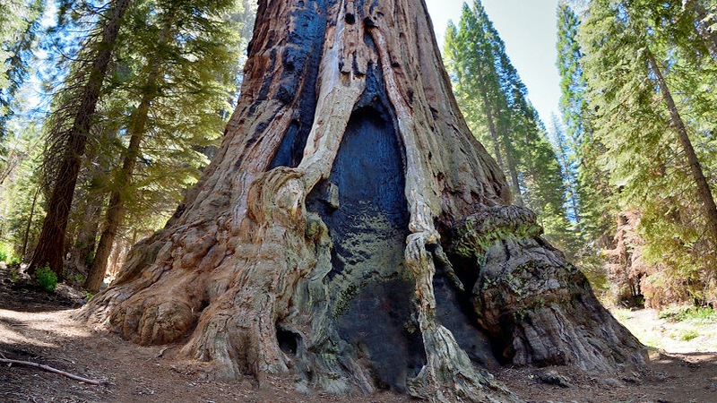
At 269 feet tall, the Boole Tree is the eighth tallest tree in the world and the largest in any National Forest. Its impressive size was what spared the tree during the height of the historic logging period. A 3.0 mile, moderate trail leads from the parking area to the base of the tree.
04. Indian Basin Grove
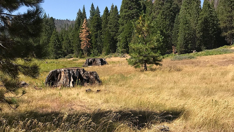
Indian Basin Grove, once a grove of ancient giant sequoias, is the site of a historic logging operation. Today a paved, accessible, interpretive trail weaves through a collection of massive sequoia stumps and a grove of young sequoias that have replaced the fallen giants. The Princess Campground sits next to the trail directly off Highway 180. After witnessing the devastation of Big Stump Basin, with limited time on our hands, we decided to skip Indian Basin Grove.
05. Junction View Overlook
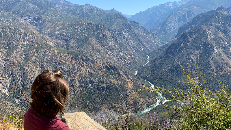
Junction View Overlook is perched right on the edge of the cliffs on the side of the highway. This scenic vista point provides a fantastic view of the Middle Fork and the South Fork of Kings Canyon, which reaches up to 8,200 feet deep and an interpretive sign provides information on nearby mountain peaks and the region’s geology.
06. Yucca Point Overlook
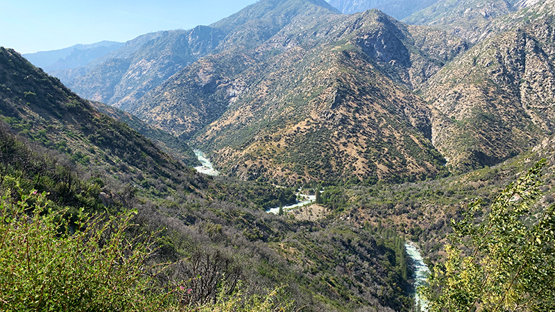
At the Yucca Point Overlook you can look almost straight down into the junction of the Middle Fork and the South Fork of the Kings River. From the overlook a 2.5 mile trail leaves the Yucca Point Trailhead and descend the mountain 1,000 feet to the rivers.
07. Boyden Cavern
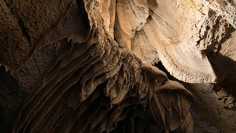
Boyden Cavern is a marble cavern with a small underground waterfall. The cavern extends 750 feet inside the mountain and features stalactites, stalagmites, cave bacon, soda straws, flowstone, draperies, shields, helictites, pendants, and formations that resemble pancakes, a wedding cake, an upside down city, and even bear. On tours, you’ll navigate an underground stream and your feet will get wet!
08. Grizzly Falls
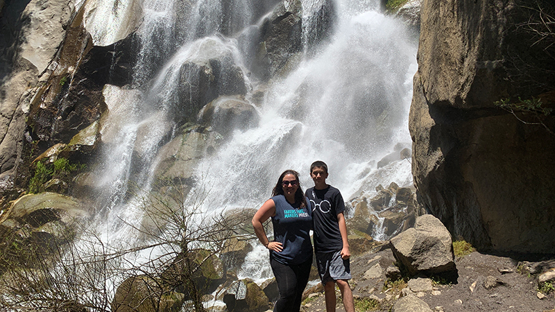
Grizzly Falls is a stunning and thunderous 75 foot waterfall that plunges down a wall of granite into a rocky pool. The Gizzly Falls Picnic Area is right off the highway and a short 0.1 mile trail leads to the base of the waterfall.
09. Cedar Grove Visitor Center and Village
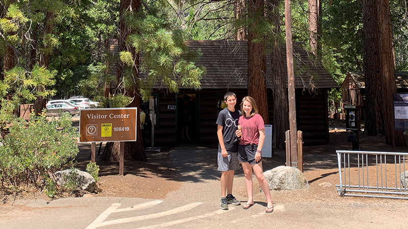
The Cedar Grove Visitor Center provides visitors information about the Cedar Grove region of Kings Canyon National Park. Here you can chat with a ranger, pick up maps and guidebooks, and buy books, souvenirs, apparel, and even games. Cedar Grove Village has campgrounds and a lodge, market, gift shop, showers, and snack shop. Cedar Grove Market sells everything from groceries and camping supplies to souvenirs and bear-proof food containers.
10. Canyon View Overlook
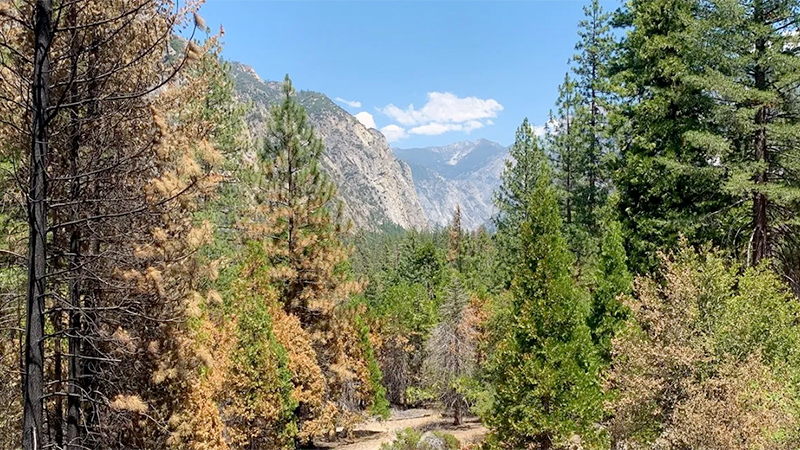
Like the Kings Canyon Overlook, the views from this overlook are obstructed by trees. The difference here is that you can see over the trees into the gorgeous canyon.
11. Knapp’s Cabin
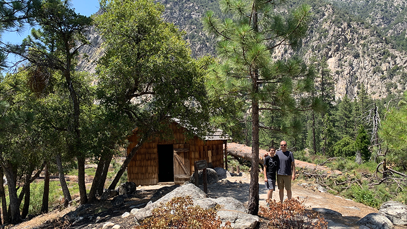
Built during the Roaring Twenties by wealthy Santa Barbara businessman George Owen Knapp, this simple, one-room, wood-shingled cabin is the oldest building in Cedar Grove. It sits just downstream from the confluence of the Roaring River and was to store gear for Kanpp’s extravagant fishing and camping excursions in Kings Canyon.
12. Roaring River Falls
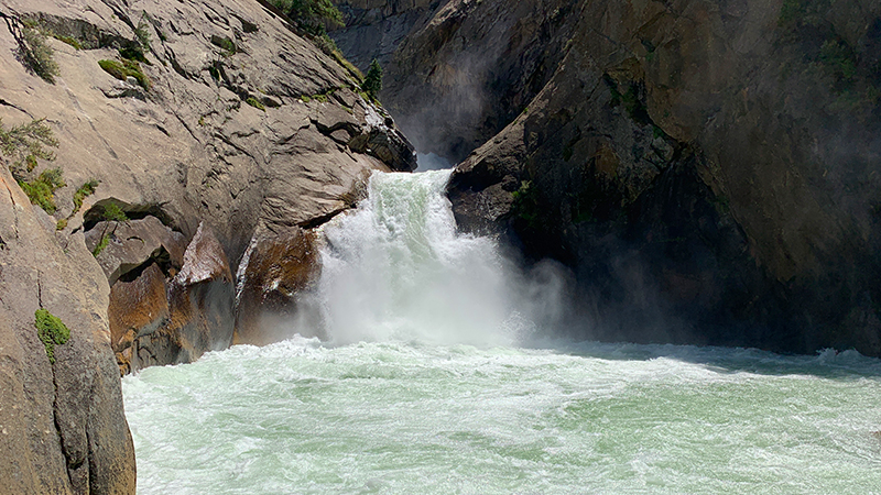
Roaring River Falls, located where the Roaring River meets the Kings River, drops 40 feet through a narrow granite chute, over a granite ledge into a beautiful, foaming, aqua pool.
13. Zumwalt Meadow
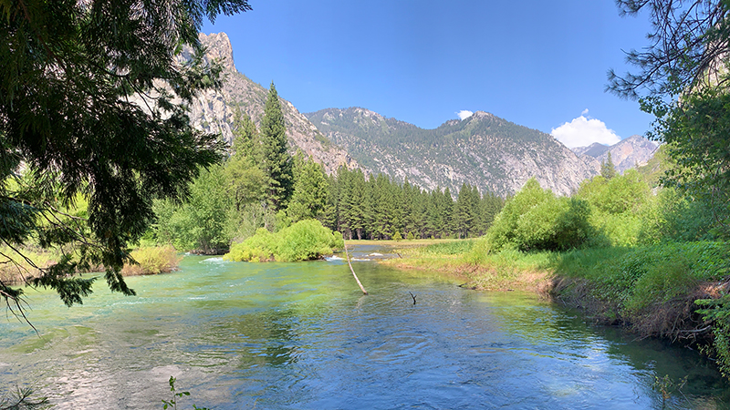
The Zumwalt Meadow Loop Trail is a 1.5 mile trail that sits between two nearly vertical granite cliffs, North Dome and the Grand Sentinel, and features a beautiful wooden bridge, a gorgeous meadow, and the sparkling Kings River.
14. Roads End
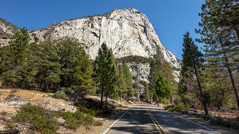
Roads End is the actual end of the Kings Canyon Scenic Byway. Here the wilderness begins and access to the stunning mountains, granite walls, remote trails, Muir Rock, and incredible views is all by foot. Here you’ll find the Roads End Wilderness Permit Station that rents bear canisters and sells trail guides and maps. In the off-season, wilderness permits can be self-issued and are free of charge.