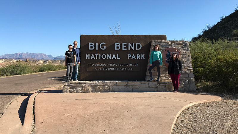
While looking at all 59 US national parks on maps and planning routes for our family road trips, Big Bend National Park was an outlier. It is out in remote West Texas all by itself, not really close to anything else…
When planning our Thanksgiving road trip, we wanted to visit the American Southwest and Saguaro National Park, Carlsbad Caverns National Park, and Guadalupe Mountains National Park — and because that is about as close as we’d ever be to Big Bend, we added Big Bend National Park to our list.
Big Bend National Park is HUGE but easily broken up into different areas with all sorts of trails, vista points, and more:
- The 30 mile Ross Maxwell Scenic Drive to Santa Elena Canyon.
- The Chisos Basin area up in the Chisos Mountains.
- The Rio Grande Village area along the river.
- The Panther Junction area in the middle of the park.
About Big Bend National Park
In 1933, the state of Texas established Texas Canyons State Park, using 15 school sections owned by the state. Lands forfeited for non-payment of taxes were quickly added, bringing the park to roughly 160,000 acres, and the name was changed to Big Bend State Park in 1933. In 1935, President Franklin D. Roosevelt signed a bill that authorized the establishment of Big Bend National Park.
In 1944, 700,000 acres of west Texas land were formally presented to President Roosevelt and Big Bend National park was established. Then in 1976, it was designated an International Biosphere Reserve.
Today Big Bend National Park covers 801,163 acres and is the eighth largest US National Park in the lower 48 states and the fifteenth largest in the country. It sits on the international boundary between the United States and Mexico along the Rio Grande in Texas and includes the entire Chisos mountain range and a large swath of the Chihuahuan Desert.
Within the 118 twisting miles of river that define the national park’s southern boundary, the river’s southeasterly flow changes abruptly to the northeast. This natural U-turn or bend in the Rio Grande is where the name Big Bend comes from.
Hiking At Big Bend National Park
Big Bend contains the largest expanse of roadless public lands in Texas. With more than 150 miles of trails, at elevations of 1,800 feet along the Rio Grande to 7,832 feet on Emory Peak in the Chisos Mountains, there are numerous opportunities for adventure.
- The Chihuahuan Desert covers about 80% of the park and surrounds the Chisos Mountains. Desert trails range from short, easy nature walks to multi-day treks marked only by rock cairns, if at all. Remote routes provide a wilderness adventure for experienced hikers where silence and solitude are key protected resources.
- Rising 7,832 feet in elevation, the Chisos Mountains preserve a forest of oaks, pines, junipers, madrones, and Arizona cypress. There are about 20 miles of mountain trails within the Chisos with excellent year-round hiking opportunities, including some of the most rewarding day hikes in Big Bend.
- The Rio Grande creates a distinct environment in Big Bend National Park. While the best way to see the park along the river boundary is in the river, several short river trails provide access into river canyons and elsewhere along its banks.
Here are 24 family-friendly things to do and see in Big Bend National Park:
01. Persimmon Gap Visitor Center
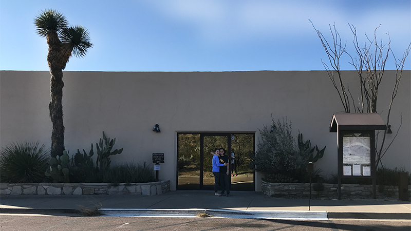
Persimmon Gap Visitor Center is the first stop at Big Bend National Park for visitors entering the park through the northern entrance station. At Persimmon Gap, you can pay your park entrance fees, get park information, maps, and brochures, speak to a ranger, check out exhibits on the Rio Grande River and rafting the Rio Grande, and more.
02. Fossil Discovery Exhibit
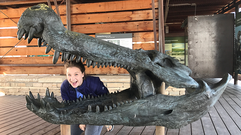
At the Fossil Discovery Exhibit, you can experience the changes to Big Bend’s plants and animals, and the world they lived in, through 130 million years of geologic time. The Fossil Discovery Exhibit is an open-air museum where you can learn more about the geology of Big Bend, see some of the park’s most amazing fossil finds, and view vivid artwork that tells the story of the region’s ancient life.
03. Panther Junction Visitor Center
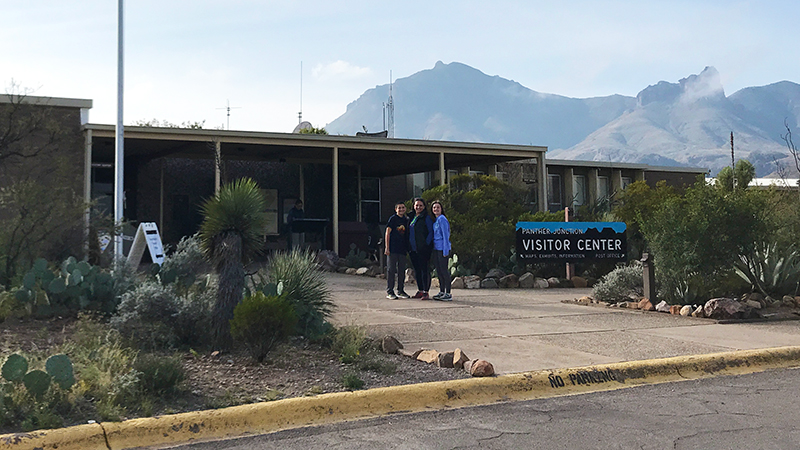
The Panther Junction Visitor Center and Big Bend National Park Headquarters is the best place for first time visitors to begin a visit to the national park. At the Visitor Center you can pay fees, see exhibits on the park geology and cultural histories, watch an orientation film, talk to rangers, pick up souvenirs, and get park information.You can also walk Panther Path, a 50 yard, accessible, self-guided nature trail loop that winds through a desert garden.
04. Dug Out Wells Picnic Area
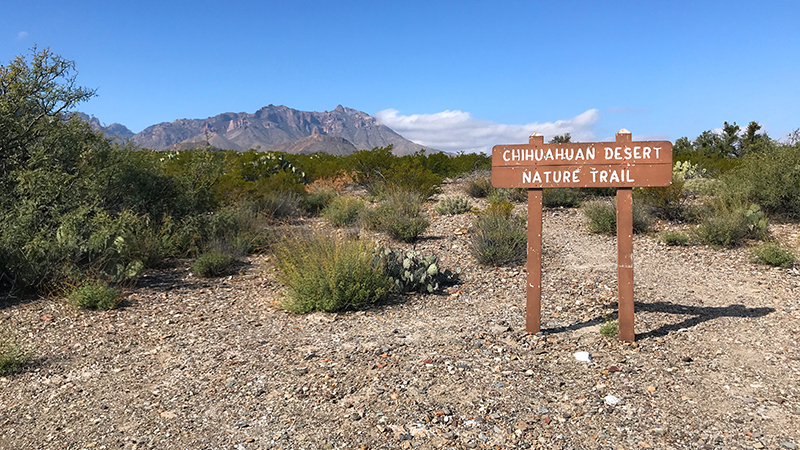
Dug Out Wells is a historic desert oasis located 6.0 miles southeast of Panther Junction in Big Bend National Park. Settlers recognized the value of this area and built a ranching complex and small community with about half a dozen buildings. It was here that the first schoolhouse in the region was built around 1911.
At this former ranch community site and cultural center of the Big Bend, you’ll find a picnic area with tables shaded by cottonwood trees and the half mile Chihuahuan Desert Nature Trail.
05. Rio Grade River Overlook
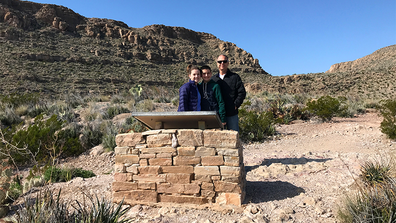
When making the 21 mile drive from the Panther Junction Visitor Center to the Rio Grande Visitor Center, stop at the Rio Grande Overlook for beautiful panoramic views of the surrounding desert and mountains and to learn about the local cactus species.
06. Rio Grande Village Visitor Center And Picnic Area
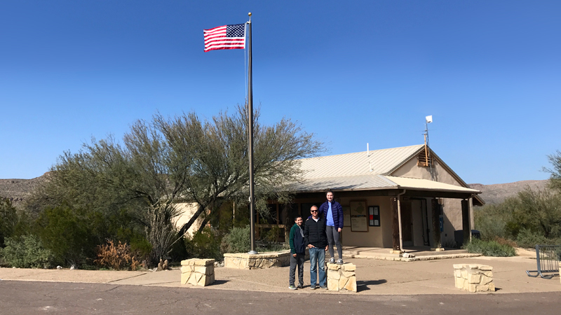
Rio Grande Village, also known as Boquillas, is a cultural crossroads where irrigated fields and abandoned Mexican and American adobes tell the story of the region’s history and the Sierra del Carmen Mountains rise up in the distance.
Here you’ll find the Rio Grande Village Campground, the Rio Grande Village Store, the Rio Grande Village RV Campground, trailheads for hiking, and the lush green Daniel’s Ranch Picnic Area, as well as Boquillas Crossing — the place you can cross the Rio Grande River to the border village of Boquillas Del Carmen, Mexico.
07. Boquillas Canyon Overlook
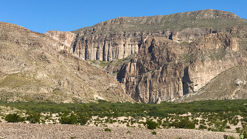
The massive cliffs of the Sierra del Carmen appear unyielding, yet the Rio Grande has carved a gorge 1,300 feet deep directly through the escarpment. Boquillas Canyon is so narrow that from the Scenic Overlook the entrance is almost invisible — you really have to look for it! In the opposite direction, you can see the Rio Grande and the village of Boquillas Del Carmen, Mexico.
08. Boquillas Canyon Trail
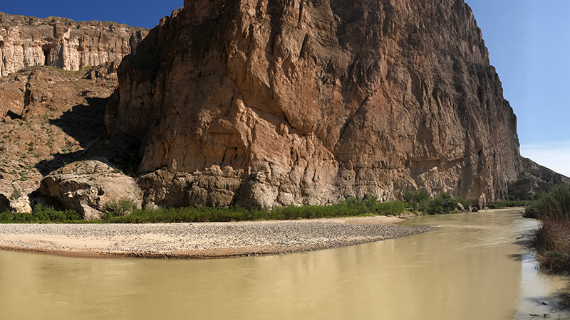
Boquillas Canyon Trail is a moderate, 1.4 mile round trip, out and back trail along the bank of the Rio Grande to the entrance of the stunning 20 mile long Boquillas Canyon. On this hike you’ll see native American mortar holes, panoramic views of the Rio Grande, and steep canyon walls, and you’ll have access to a sandy beach too!
09. Chisos Basin Visitor Center
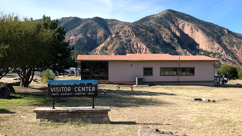
Surrounded by spectacular mountain cliffs and incredible views, the Chisos Basin is one of the most popular destinations in Big Bend National Park. The Chisos Basin Visitor Center is located in the Chisos Basin developed area in the same parking lot as the Chisos Mountains Lodge. Next door to the Visitor Center is the Basin Convenience Store where you can find snacks, apparel, camping supplies, cold dinks and beer, books and maps, sunscreen and hats, and souvenirs.
10. Window View Trail
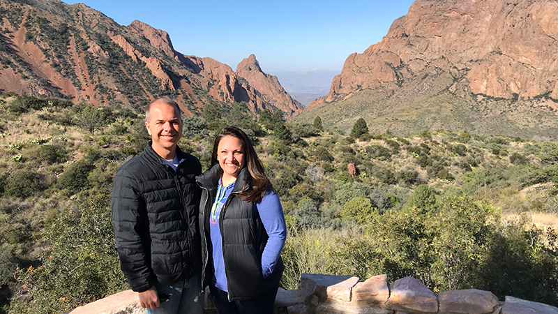
The easy 0.3 mile Window View Trail starts at the Chisos Basin Trailhead just 100 yards west of the Visitor Center and provides a gorgeous panoramic view that looks through a natural window. It is an easy, semi-flat, paved trail that circles a low hill. Benches along the trail offer you an opportunity to take a break from your walk and enjoy the breathtaking views of the mountain peaks surrounding the Chisos Basin.
11. The Ross Maxwell Scenic Drive
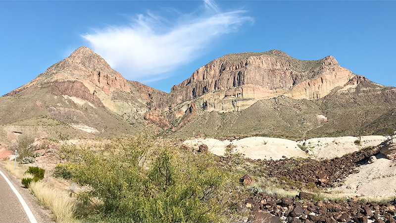
The 30.0 mile Ross Maxwell Scenic Drive leads to Sam Nail Ranch and Homer Wilson Ranch, the Castolon Historic District and Visitor Center, and ends at the Santa Elena Canyon and the Rio Grande. On this scenic drive, you’ll see a ton of Big Bend National Park’s highlights throughout the Chihuahuan Desert landscape, including stunning vista points, amazing hiking trails, and beautiful historic buildings.
12. Sam Nail Ranch
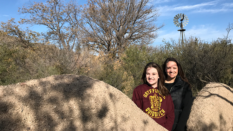
Sam Nail Ranch is one of the many homesteads once active in Big Bend. Remnants of the ranch remain along the 0.5 mile Sam Nail Ranch Trail, including a windmill that still pumps water.
13. Fins of Fire Vista Point
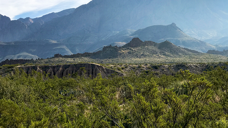
The spines of dark rock marching across the desert floor are called dikes. Contemporaries of the Chisos Mountains, these outcrops are evidence of the most recent igneous activity in the area.
The Fins Of Fire seen from this viewpoint rose from deep magma chambers through fissures 17 million years ago. Over time, softer surrounding rock weathered away, leaving igneous dikes silhouetted across the landscape.
Like great stone fences, dikes can be traced for miles across the park — reminders of the molten world beneath the quiet desert surface below.
14. Homer Wilson Ranch
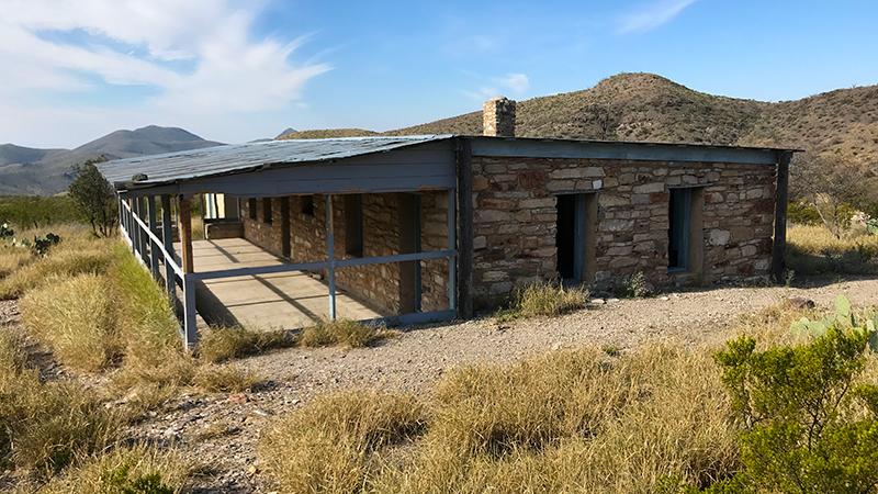
Blue Creek Ranch Overlook provides a sweeping view of Blue Creek Valley and the operational center of the Homer Wilson Ranch. The ranch was one of the largest in Texas, and the most significant ranch in Big Bend before the establishment of Big Bend National Park.
The Homer Wilson Blue Creek Ranch Trail is a 0.5 mile out and back trail to a small ranch house in Blue Creek Valley that totals 1.0 mile.
15. Sotol Vista Overlook
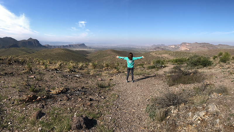
Sotol Vista Overlook is a stunning vista point high above the desert floor that has a large paved parking lot with a vault restroom. From the scenic viewpoint, you have a breathtaking view of the entire western side of Big Bend National Park, including magnificent Santa Elena Canyon and the Mexican state of Chihuahua in the distance.
16. Lower Burro Mesa Pour-Off Trail
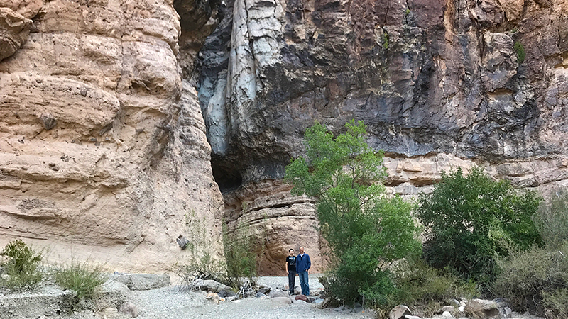
Lower Burro Mesa Pour-off Trail is an easy 0.5 mile out and back trail that totals 1.0 mile and gains 120 feet elevation. It leads into a hidden box canyon with a giant pour-off. Here water has carved a deep channel into Burro Mesa as it plunged 100 feet to the base.
17. Goat Mountain Viewpoint
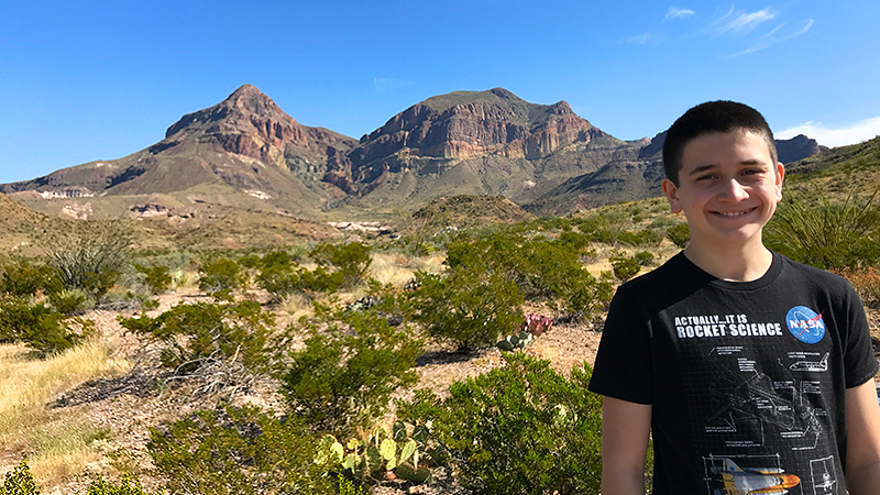
The Goat Mountain Viewpoint is not much more than a roadside pullout with a short ramp up to an observation area with an interpretive sign and majestic views of Goat Mountain in the Sierra Quemada in the southern Chisos Mountains of Big Bend National Park.
Goat Mountain has two peaks with a steep gully between them. The eastern peak stands 4,625 feet tall and the western peak reaches 4,540 feet tall. It isn’t a destination for many tourists — there are no trails on or around it — but for geologists, it provides an outstanding look at the volcanic activity in the area that occurred around 35 million years ago.
18. Mule Ears Viewpoint
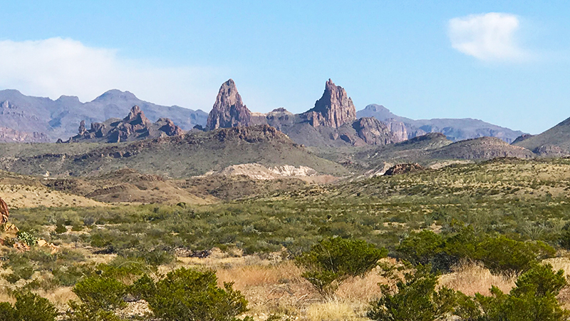
Mule Ears Viewpoint is a scenic vista point along the Ross Maxwell Scenic Drive with gorgeous views of the Mule Ears Peaks. Named for their resemblance to mule ears that stand up straight, Mule Ears Peaks are made of black igneous rock that was once part of a volcano. The viewpoint is a great place for a picnic lunch and if you pose your kids just right, you can make it look like they have mule ears!
Mule Ears Spring Trail is a moderate, 3.8 mile round trip hike with an 880 foot elevation gain that begins at the Mule Ears Overlook parking area.
This hike leads through the foothills of the Chisos Mountains, skirts Trap Mountain, and crosses several arroyos. At the end of the trail is a stone corral and just past that is Mule Ears Spring, which is overgrown with shrubs like ferns and cattails. Near the spring are the ruins of an old stone building and remnants of a pipe leading to the spring. While the spring water is clean and drinkable, it only trickles in dry months.
19. Tuff Canyon
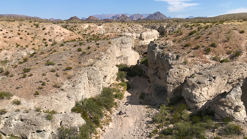
The deep and narrow Tuff Canyon was carved out of soft volcanic tuff and is easily observed from three viewing platforms above or by hiking the Tuff Canyon Trail into the gorge.
Tuff Canyon Trail is a fairly easy, 0.75 mile round trip hike that begins at the Tuff Canyon Overlook near the south end of the parking lot. It descends into the soft white-walled canyon made of welded volcanic ash into the typically dry bed of Blue Creek.
20. Castolon Visitor Center
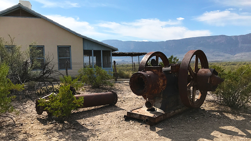
Castolon, also known as La Harmonia Ranch and Campo Santa Elena, was established in the early Twentieth Century and later served as the headquarters of the La Harmonia Company. Today, the Big Bend National Park Castolon Visitor Center is located in the historic La Harmonia store building.
21. Land of Distances Vista Point
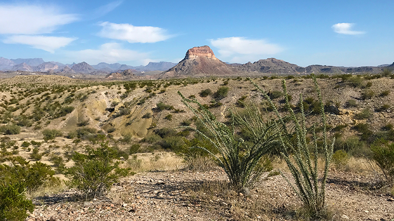
The vast distances viewed through the clean skies of Big Bend have long been one of the defining qualities of this unique desert land. From the roadside pullout, follow the gravel trail to the top of a low knoll and an informational sign about the “Land Of Distances.”
The sweeping panoramic views from this vista point look north as far as the eye can see. Emory Peak rising one mile higher than this vista point can be seen 16 miles away.
22. Dorgan-Sublett Trail
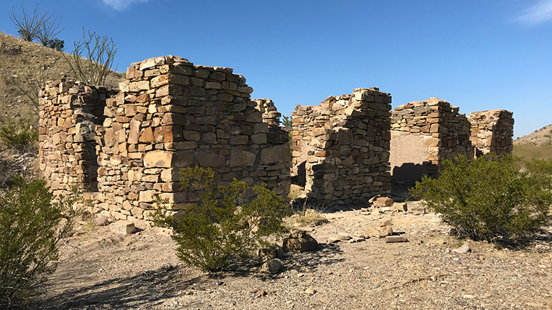
The Dorgan-Sublett Trail, one of the newest trails in Big Bend National Park, is an out-and-back, 0.9 mile round-trip trail that passes three historic adobe and stone structures, all of which are part of the Rancho Estelle Historic District and added to the National Register of Historic Places in 1974.
23. Santa Elena Canyon Overlook
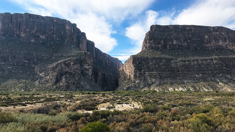
The Santa Elena Canyon Overlook is a scenic viewpoint directly off Ross Maxwell Drive with panoramic views of the canyon’s sheer limestone cliffs rising 1,500 feet above the Rio Grande.
24. Santa Elena Canyon Trail
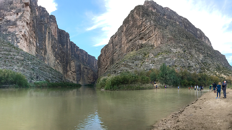
The Santa Elena Canyon Trail is a moderate, 1.7 mile, round trip hike along the bend of the Rio Grande River into the Santa Elena Canyon. It is one of the best-known natural features of Big Bend National Park and one of the most popular and crowded places in the entire national park.
Know Before You Go
- Big Bend National Park is located in Brewster County, southwest Texas.
- The name Big Bend refers to the great U-turn the Rio Grande makes in Southwest Texas. The Rio Grande defines the park’s southern boundary for 118 miles.
- Park entrances are open 24 hours daily, all year and have variable seasons and hours.
- Admission fees are valid for seven days and are $30/vehicle, $25/motorcycle, $15/individual/bicyclist/pedestrian.
- There are five Visitor Centers in Big Bend National Park: Panther Junction, Chisos Basin, Castolon, Persimmon Gap, and Rio Grande Village.
- Download the Big Bend National Park maps.
- At least 450 species of birds inhabit the park — more than any other US national park.
- Visitors can legally cross into Mexico in Big Bend National Park through the Boquillas Crossing Port of Entry. This Class B port of entry is open Friday through Monday from 9:00 am to 6:00 pm during summer, and Wednesday through Sunday from 8:00 am to 5:00 pm during winter.
- Big Bend National Park has over 150 miles of hiking trails, including desert hikes in the Chihuahuan Desert, mountain hikes in the Chisos Mountains, and river hikes along the Rio Grande.
- The Chisos Mountains Lodge, operated by Forever Resorts, Inc., offers a variety of rooms and cottages, plus a gift shop and dining room. The lodge is open year-round.
- There are three developed campgrounds in the park: the Chisos Basin, Rio Grande Village, and Cottonwood campgrounds. Sites are first come, first-served, although a limited number of campsites in Rio Grande Village and the Chisos Basin campgrounds are reservable.
- Fishing is allowed in the Rio Grande with a free permit issued from a visitor center.
- Convenience stores are available and open year-round at Rio Grande Village, the Chisos Basin, and in the historic La Harmonia store at Castolon.
- Gas stations are located at Panther Junction and Rio Grande Village, and outside the park in Study Butte and Stillwell’s Ranch. Diesel is available at Panther Junction and in Study Butte.
- Pets are not allowed on trails, off roads, or on the river. Your pet can only go where your car can go and must be on a leash no longer than six feet in length or in a cage at all times. You must always clean up after your pet and dispose of waste in trash receptacles.