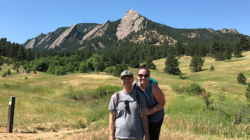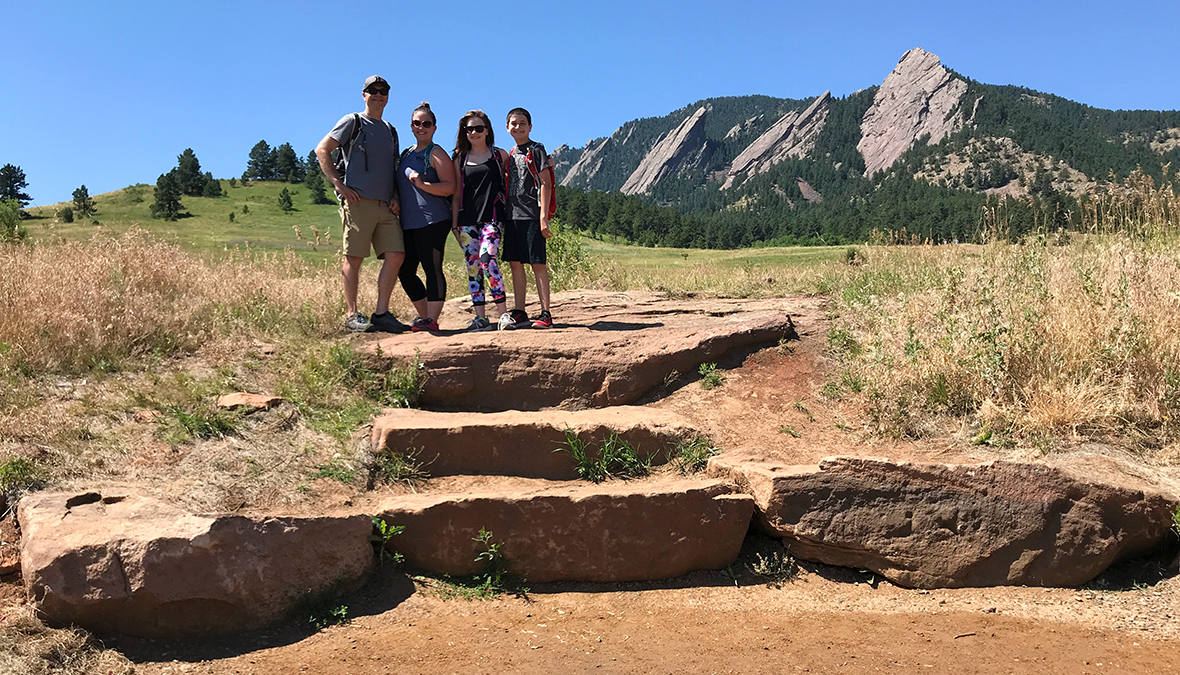
Last year, Brian and I flew into Boulder, Colorado for a quick weekend getaway to see Dead & Company play at Folsom Field. While in town, we drove up to Panorama Point on Flagstaff Mountain and walked the trails through the beautiful meadows at Chautauqua Park below the iconic Flatirons.
We had so much fun, that when Dead & Company announced their summer tour dates for 2018 and we saw Boulder listed again, we decided to make Colorado the destination for our annual giant family road trip. Plus, with the Boulder shows closing the entire summer tour, and the final show being on Brian’s 40th birthday, it became a must-do trip.
The two Dead & Company concerts in Boulder were part of a six show run and our favorite things about “going on tour” are the adventures we have during the day:
- Before the show on our first day in Boulder, we slept in and wandered Pearl Street Mall, which boasts art galleries, cafes, restaurants, and boutiques.
- Before the second show, we hiked the Flatirons, these amazing craggy rock formations overlooking the city, which totally kicked our butts.

Hiking The Flatirons
After walking through the meadows beneath the Flatirons last summer, I wanted to hike into the Flatirons this summer and the Open Space Mountain Parks area adjacent to the Chautauqua Historic District provides an opportunity to do just that!
Chautauqua Park and the Chautauqua Trailhead provides access to several Open Space Mountain Park trails. The park is insanely popular and all parking usually fills up by 8:30 am on weekends. Even though we arrived early, we still had to find a place to park on Baseline Road because the lots were already full.
Now when we arrived at Chautauqua Park, we were already exhausted from almost three weeks of hiking and exploring. While we wanted to hike the Flatirons and take in some incredible views of Boulder, we also knew that we needed to be careful and not overdo it. Not only is Boulder at a much higher elevation than we’re used to, it was mid-July and very hot, and we had a concert to go that night.
Our first stop was the Ranger Cottage to get a hiking suggestion from a park ranger. The ranger we spoke with was really friendly and helpful and pointed out a hiking route that would get our family the best views and best hiking experience without killing us :).
Here’s the roughly 2.6 mile round-trip route she suggested and what we ended up hiking:
- From the Chautauqua Trailhead, hike 0.5 miles up the Chautauqua Trail through the meadow to a shady viewing fence.
- Follow the trail across the Bluebell-Baird Trail for another 0.2 miles to a trail fork. To the right is the 1st/2nd Flatiron Trail and to the left is the Flatirons Loop Trail.
- Follow the Flatirons Loop Trail toward the 3rd Flatiron Climbing Access and the Royal Arch Trail for 0.5 miles.
- At Royal Arch Trail intersection, turn left and travel 0.2 miles until you reach the Bluebell Road Shelter (a historic structure).
- From the Road Shelter, you begin the hike back downhill along the Bluebell Spur Trail, then the Chautauqua Trail back to the Ranger Cottage.
Our moderately strenuous hike started up the steep, wide, paved Chautauqua Trail through gorgeous, green meadows dotted with wildflowers. We gained 700 feet in elevation pretty quickly and weren’t even used to the starting elevation, so we all noticed that we were winded a lot sooner in our hike than normal.
After a nice long water break in the shade at the first viewing fence, we reached the start of the Flatirons Loop Trail, which travels in and out of the shade and overall, is really rocky and uneven. In fact, at one point, we were walking up a rock staircase in what looked like a giant rock slide area! From here, the views of Boulder behind us were absolutely spectacular.
Soon the trail made a sharp turn into the shade and we found ourselves at the base of a sheer rock wall towering above us. Here we met a free climber who was beginning his multi-hour climb up the rock face and took much needed break in the shade to watch him for a bit. After that the trail continued to wind along the face of Green Mountain and had us climbing yet another steep, uneven rock staircase.
At this point we all were exhausted and clouds were beginning to form — it looked like it was going to rain, so we were happy to now be making our way back down Green Mountain toward the Ranger Cottage.
Our route downhill took us along a wooden boardwalk for a bit, to the historic Bluebell Road Shelter, and along the Bluebell Spur Trail, which afforded us some incredible views of the Boulder valley below. We could even see Folsom Field at the University of Colorado where we were going to bee seeing the Dead & Company tour closer later that night!
Eventually we found ourselves back on the Chautauqua Trail, making our way back to the Ranger Cottage and our butts were sufficiently kicked. We were exhausted. And, even though we all brought our 40 oz. Hydroflasks full of water, they were all empty and we all were dying of thirst. Thankfully we had a ice chest full of cold water and Gatorades waiting for us in the truck!
About The Flatirons
The Flatirons, formerly called the Chautauqua Slabs and The Crags in the early 1900s, are massive, slanted, sandstone rock formations on Green Mountain within the City of Boulder Open Space and Mountain Parks system. They are part of the Fountain Formation, a long formation of the Front Range that stretches from Wyoming through Rocky Mountain National Park, down into Colorado.
While the rock is estimated to be 290 to 296 million years old, the uplifting of the formation occurred between 35 and 80 million years ago and erosion continued to shape the rock to the Flatiron shapes you see today.
There are five large, numbered Flatirons ranging from north to south (right to left) along the east slope of Green Mountain. The first three flatirons are the most prominent of the group.
Other manifestations of the Fountain Formation can be found in many places along the Colorado Front Range, including Garden of the Gods near Colorado Springs, Roxborough State Park in Douglas County, and Red Rocks Amphitheatre in Morrison.
Know Before You Go
- Chautauqua Park is located at the Colorado Chautauqua National Historic Landmark at 9th Street and Baseline Road, Boulder, Colorado 80302 in Boulder County and the foothills of the Rocky Mountains.
- The Open Space Mountain Parks area adjacent to the Chautauqua Historic District provides the best way to get a closer look at the majestic Flatirons with trails that are commonly used for hiking, walking, trail running, and rock climbing.
- The First and Second Flatirons trail is a moderate to strenuous 2.6 mile round trip that will take you through wildflower-filled meadows toward the rock formations and reward you with postcard worthy views of the Continental Divide. If you don’t have a ton of time, this is the one you’ll want to do.
- The best time to hike the Flatirons is from April to October.
- Download the Trail Map.
- If you’re hiking with children, be sure to stop by the Ranger’s Cottage to pick up a nature discovery pack with binoculars, field guides, activities and more — they’re free to borrow.
- Dogs are allowed on the trails as long as they stay on leash.
- Restrooms are at the Ranger Cottage and at the end of Bluebell Road on the mountain.
- While in town, consider visiting the Fiske Planetarium and the Museum of Natural History, with zoology and anthropology exhibits on the University of Colorado Boulder campus
- Love beer? Make time for the famous Boulder Beer Trail.


